
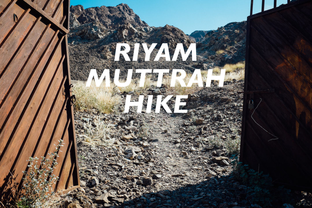

The Riyam – Muttrah hike is a great way to spend an early morning or later afternoon if you don’t have too much time to devote to hiking in Oman. Embarking on this hike is like going back in time, about 40 years ago, when times rere simpler.
[table id=21 /]
I like to start off at Riyam Park and hike towards Muttrah so I can have a juice in Muttrah when I finish, but you can certainly travel in reverse. The track is included as a loop to help you find your way back to your vehicle once you hit the streets again in Muttrah.
Riyam – Muttrah Hike
The first obstacle on the Riyam – Muttrah hike is a staircase, and it instantly transports you back to 1976, to a time when there was no road between Muttrah and Muscat. Imagine yourself climbing these steps along with your goats that you intend to sell at Muttrah Souq. This would be a common sight along this path.
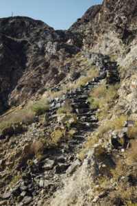 Another feature to the stair climb is a rusty pipe that was once used to transport diesel fuel from Muttrah to Riyam to supply a since removed electricity generation station.
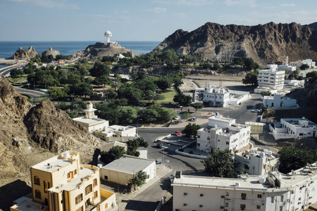
At the top of the climb, as you catch your breath, you’ll be treated to some great views of Riyam Park and the Sea of Oman. Mornings and afternoons are better for photography.
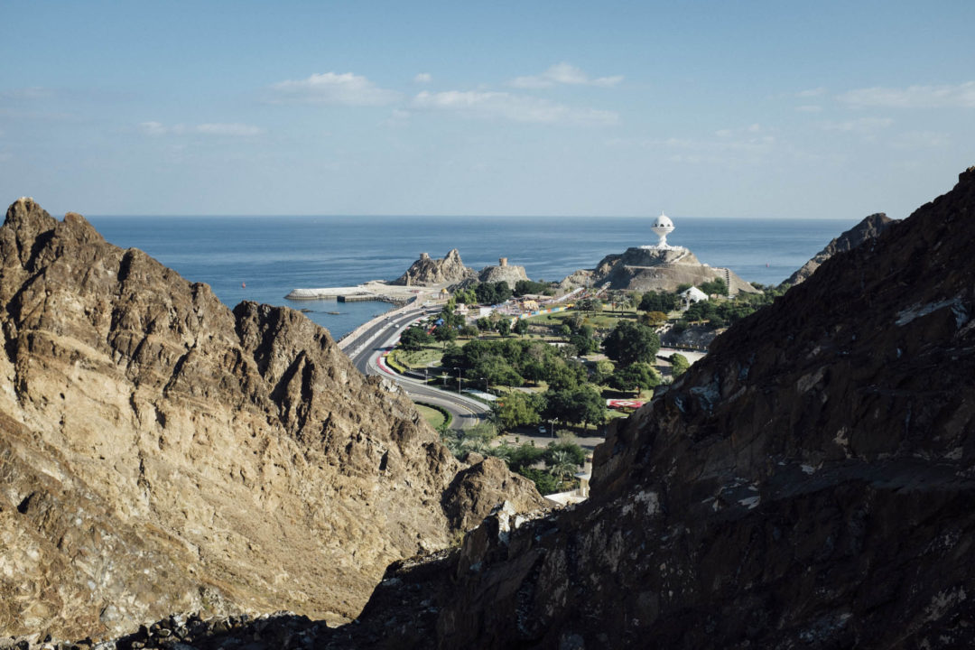
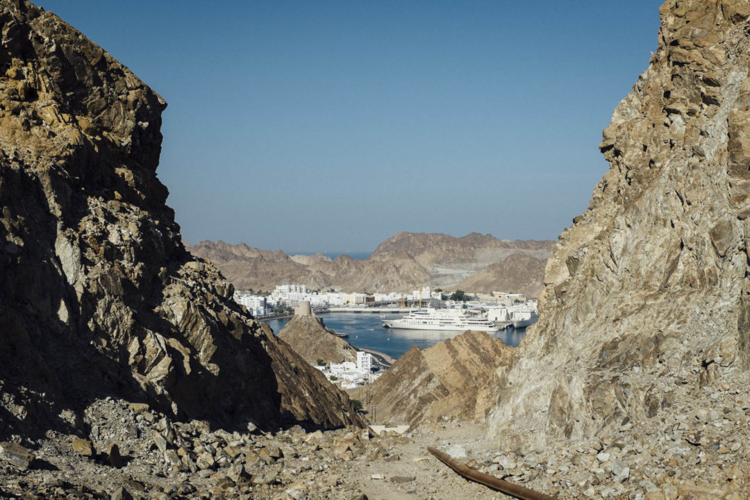
Further along the Riyam – Muttrah hike trail a peek-a-boo view of Mina Sultan Qaboos comes into focus as the diesel pipe veers of to the right. I like this view a lot; It’s not great for photography but it gives you a feeling of looking into the future from a 1976 viewpoint. In 1976 there was no commercial port, no road, no giant yacht; just a bay with some fishing boats. Today Oman is prosperous with roads, education, electricity, healthcare, ect. There is no more need for carving foot steps into rocks to get from A to B over the hills, and the trail your standing on, once used as a main path, is now abandoned.
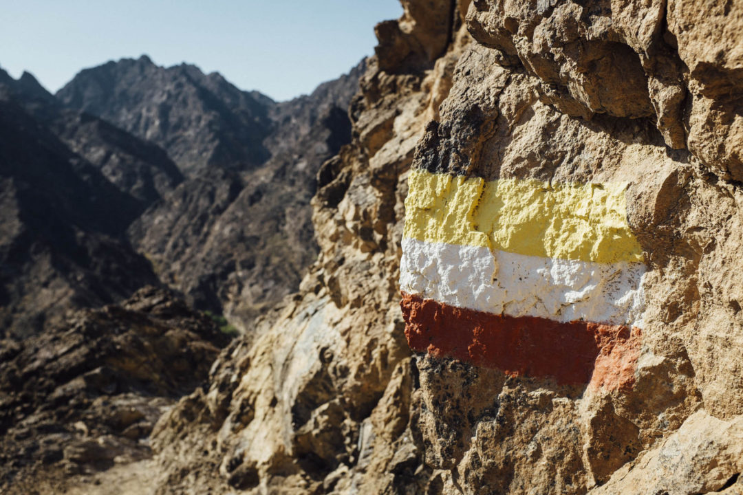
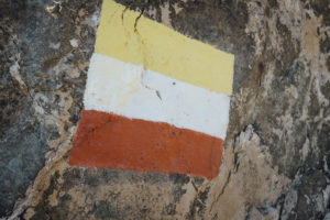 The trail now descends into a wadi where an abandoned village remains, but some hikers find it difficult to find their way at this point. Be on the lookout for the national trail markers painted along the way; or better yet, load the Riyam – Muttrah hike GPX track provided below into your GPS or smart phone to correlate if you are on the right track or not. I personally find my way no problem, but understand not everybody is an experienced hiker.
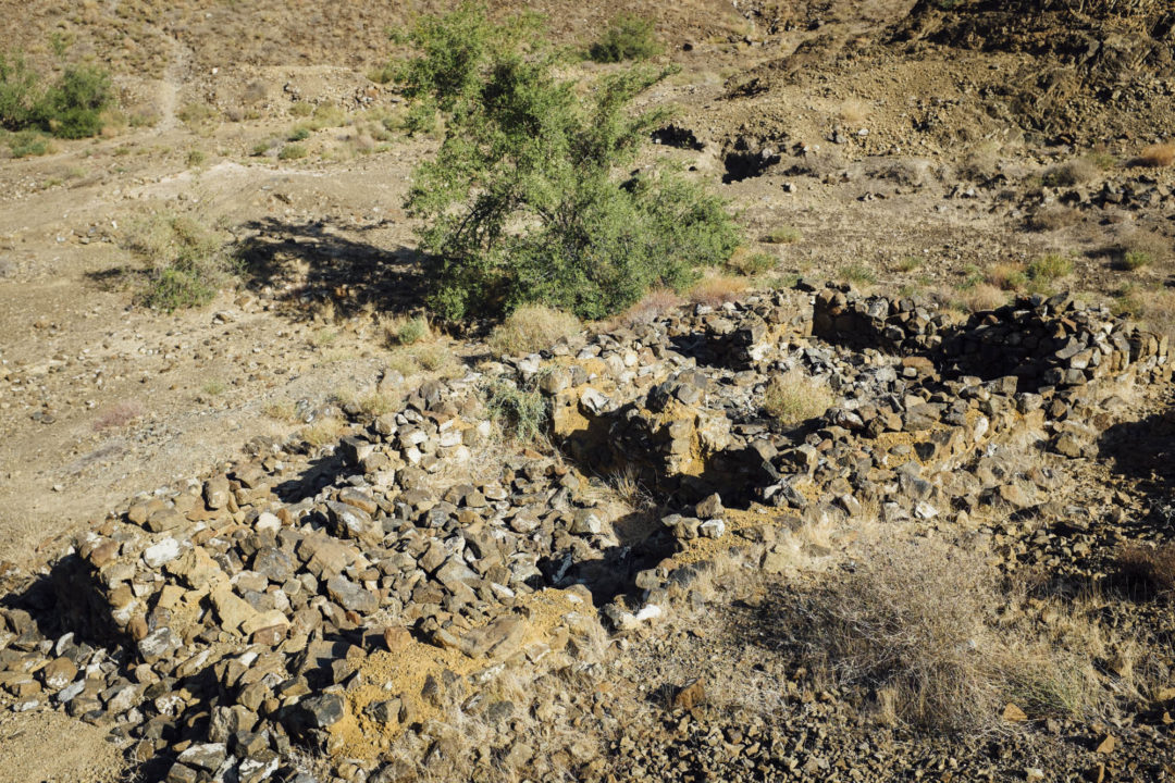
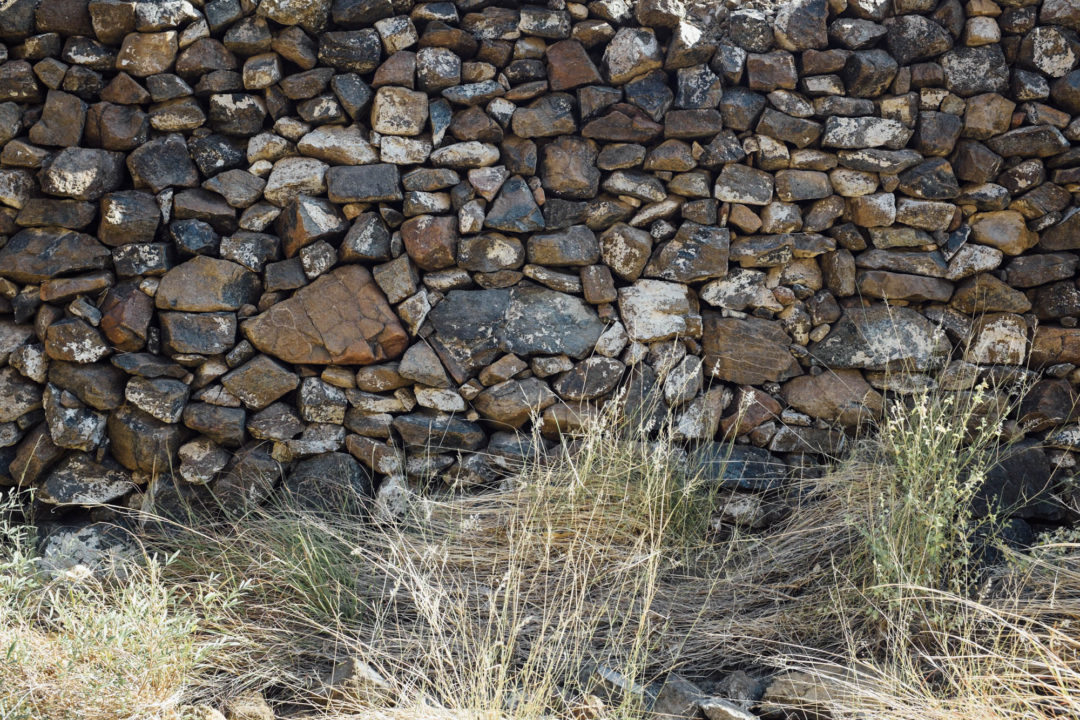
There isn’t a whole lot to see at the abandoned village, just some fallen down walls, but there is a nice shady tree located here. A great place to stop and cool off, or even eat your picnic lunch. The bonus of this village being inaccessible by car is that it’s devoid of large amounts of trash. So, please be sure to pack yours out as well.
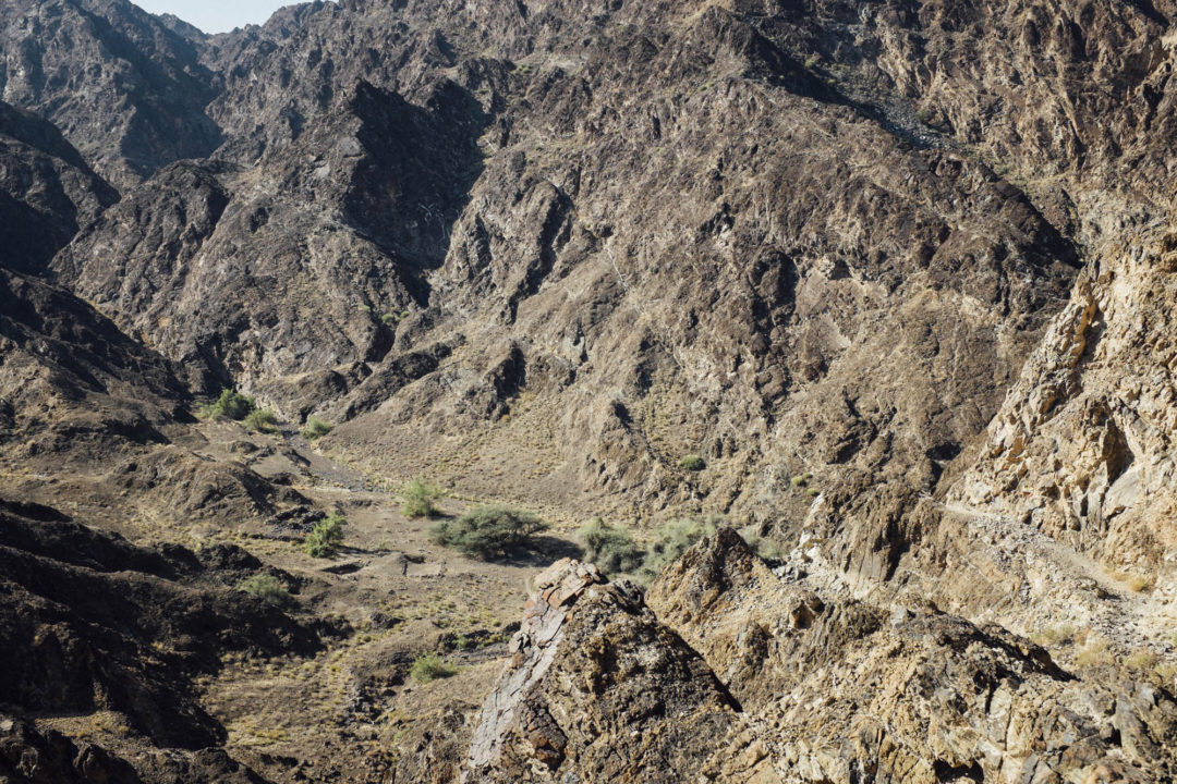
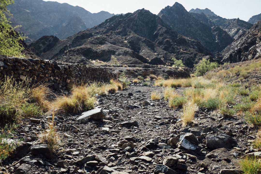
 The last stretch of the Riyam – Muttrah hike runs through a tight, rocky wadi. My last trip was just after some rain and there was a lot more standing water than I was expecting, so I definitely was glad I decided to wear my waterproof boots. The wadi sweeps left and right with high walls, think twice before you enter this wadi if rain is a possibility.
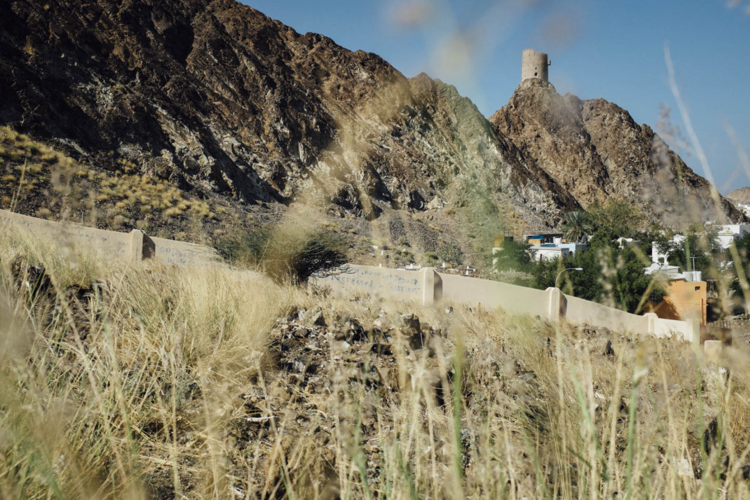
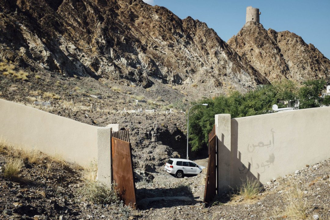
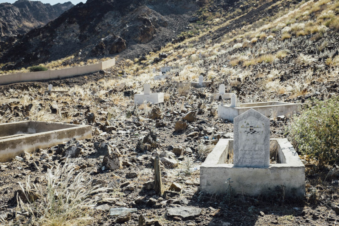
The Riyam – Muttrah hike finishes at cemetery where all the hikers who couldn’t find their way are buried. I kid, but I do feel a bit strange walking directly through a cemetery, like I am going to offend my Omani hosts. But on the other had, the Riyam – Muttrah hike is maintained by the Ministry of Tourism, and if they didn’t want folks walking through the cemetery they would have done something different to the trail. So, charge on I guess.
Once you hit the pavement you also are immediately transported back to current day Oman. A big difference, right? From here you can follow the GPX track provided below to complete a loop back to your car at Riyam Park via the slip road along the divided corniche, main road. It’s about a 20 minute, flat walk on pavement back to Riyam Park.
What I like to do before I head back to the car is charge over to Haji Ali Juice Centre and grab a fresh juice or falooda. Haji Ali Juice Centre is a famous Mumbai juice shop located on the Muttrah Corniche next to the National Bank of Oman, and well-known for their apple custard desert. Muttrah is an ancient trading port, which gives it and it’s residents a rich and diverse background. Hindi and Zadjali are common languages spoken here because of this history, so it’s fitting that a famous Indian juice shop maintain a branch in Muttrah. I usually order a mint lassi, but if you have never tried a falooda, I’d recommend you do.
As you sip your juice and look out over Mina Sultan Qaboos, you can ponder what the future will be for Oman. You have just seen the past on the Riyam – Muttrah hike, and the present lies in front of you. But what will the future hold? Maybe a nap is as far as you need to see.
Riyam – Muttrah Hike Tips
- Go early or late to avoid the heat.
- A 1.5 liter bottle of water per person should be enough.
- Wear boots. (the rocks are sharp)
- Don’t forget a hat and sunscreen.
- Bring money for a juice or tea at the end.
What is your favorite way to cool off from a hike? Leave me a comment below:
[osm_map_v3 map_center=”23.618,58.572″ map_border=”solid thin #F0F0F0″ zoom=”15″ width=”100%” height=”450″ file_list=”../../../../wp-content/uploads/2016/05/014_riyam_muttrah_hike_track.gpx, ../../../../wp-content/uploads/2016/05/020_riyam_muttrah_hike_riyam_park_wpt.gpx, ../../../../wp-content/uploads/2016/05/021_riyam_muttrah_hike_juice_shop_wpt.gpx” file_color_list=”red,red,red” type=”cyclemap” control=”scaleline”]
 Disclaimer: While every effort is made to provide accurate information, this information is made available with the understanding that data is provided with no warranties, expressed or implied, concerning data accuracy, completeness, reliability, or suitability. This site and its contributors shall not be liable regardless of the cause or duration, for any errors, inaccuracies, omissions, or other defects in, or untimeliness or inauthenticity of, the information, or for any delay or interruption in the transmission thereof to the user, or for any claims or losses arising therefrom or occasioned thereby. The end user assumes the entire risk as to the quality of the data.


14 Comments
HI Michael,
Is it true that I can get to most places without 4 x4s now as they have Tarmac roads… And it this hike possible without a 4 x4. Thank you for all the rich info I’m getting:)
You can get to many places without a 4×4, it is true. But it also depends on what you want to see. If you want to go anyplace in the mountains, a 4×4 will be required (there is even a police checkpoint at the base of Jebal Akhdar checking just this). If you want to self-drive to a desert camp, you will need a 4×4. If you want to explore Oman’s countless dirt tracks, you will need a 4×4.
Here’s a quick list of places, sights reachable w/o 4×4: Nizwa, Bahla, al Hamra, Misfat Abrieen, al Hoota Cave, Rustaq, Nakhl, any place in Muscat, Sur, Wadi Shab, Wadi Tiwi, Wadi Bani Khalid Turtle Beach Resort, Ras al Had, the Rock Garden, Salalah (many, but not all sights in Salalah)
I like to say; if you are adventurous, then be sure to hire a 4×4. If you are not needing to see the mountains, and only want to see the main sights, then hire a saloon and enjoy a lower budget.
Hope that helps. Thanks for the question, and let me know if you have anymore questions.
Also, contact me when you are arrive, I’ll take you to my secret coffee shops in Muscat.
Hi, I’m an experienced hiker but I’ve who still needs to follow router markers, and I couldn’t find my way back out from the village! I looked around for about half an hour and finally gave up and went back the way I came. The route was well marked until that point, but they really need to add a couple of pointers once you come down to the Wadi. I’m about to download your GPS guide though and I’ll try again tomorrow, thanks!
Hi Claire, I too got a bit turned around! The GPS track should keep you going in the right direction. Please let me know how it goes.
Success! The way was literally behind me (like some sort of pantomime) – I looked in every other direction. Was ready to follow otherwise, although extremely sweaty!
Glad it all worked out Claire! Mabrook!
Just wanted to know how you all search for hiking routes in Oman.We as family have just moved into oman and am interested in finding some hiking routes .
There are tons of new routes being marked monthly. Not sure how to find them listed. Maybe the Ministry of Tourism. Enjoy!
Thanks for the great guide and directions. I’m looking forward to giving it a try when I visit in November.
Thanks Jen. I hope you find it well. Let me know when you come, maybe we can meet up.
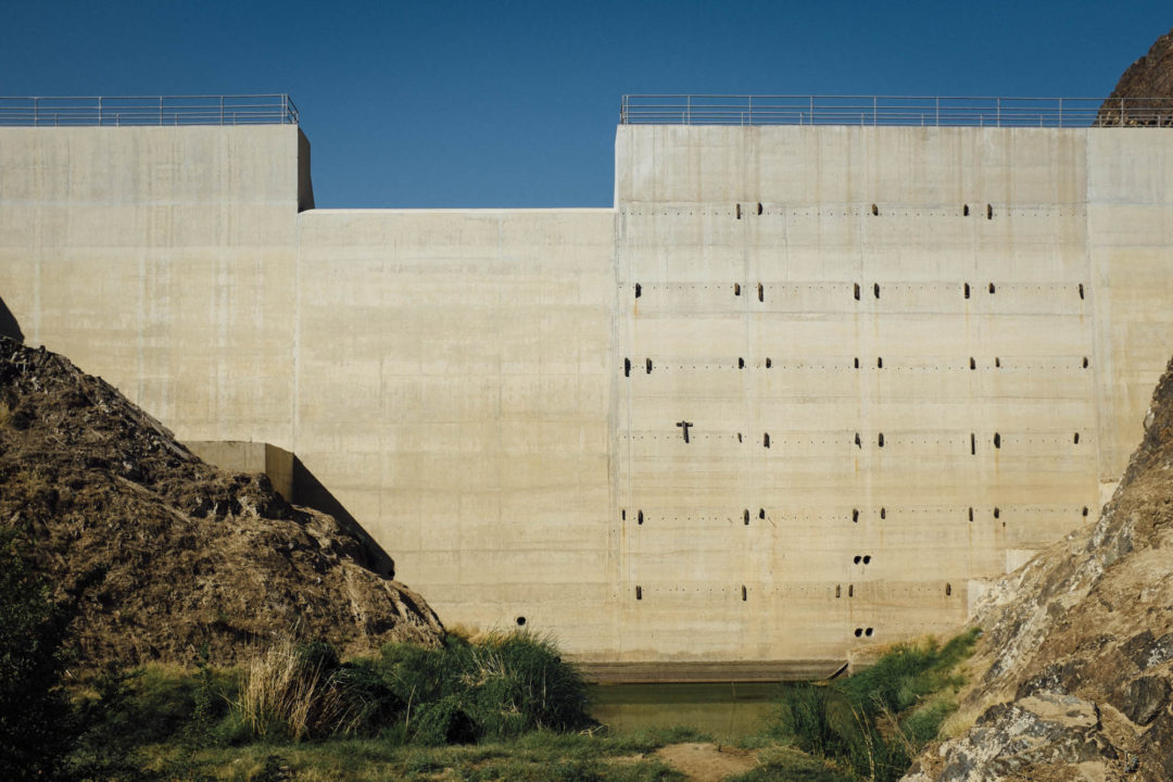
Hey there, I should have checked your website BEFORE I went on that track. From the first viewpoint that is indicated on your map, I went straight down to the city – and ended up in front of a dam which was quite adventurous to climb. Not recommended! So watch out fellow travelers! Cheers, Eva
Thanks for the feedback Eva. Hope you still had a good day.
We lived in a white house on Riyam Bay in 1974 to early 76. On stormy days, the water would splash onto the verandah. On calm days you would occasionally spot manta rays splashing on the horizon. There was a road linking Muscat and Mutrah but it was narrow and winding. We moved when the reclaimed the land in the bay to build the new road. In addition to our house, I think there was a small cold store (Spinneys?).
Different times for sure back then. Thanks for sharing.