 One of the most frustrating things I find about traveling is navigating unfamiliar streets. A lot of the times it is fun getting lost and finding sights that you otherwise wouldn’t see. However, when you are trying navigate to that obscure, yet tasty, pad thai noodle house in Bangkok you found on a local food blogger’s website, it can get a bit frustrating to say the least when it’s not where you though it was. My friend Sarah and I had many nights like this on our epic two month long backpack trip through Asia.
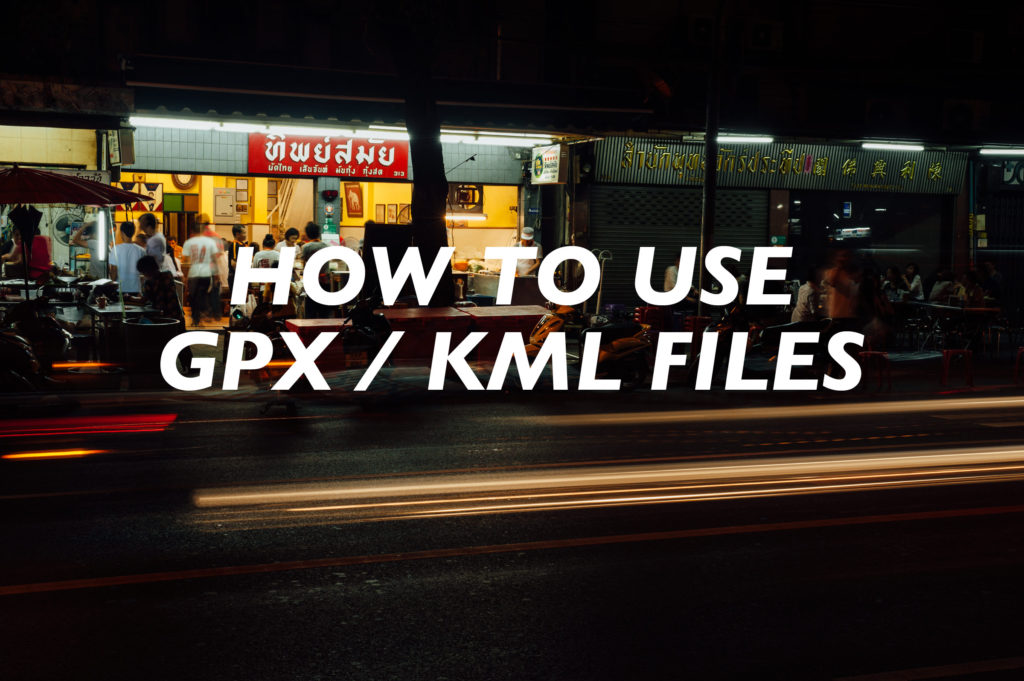
 I won’t get into the weeds to tell you exactly how useful a Global Positioning System (GPS) app on a smartphone is for a traveler, I’ll leave that discussion for another post; but I will say I would have found the scrumbscious Bangkok noodle joint Tipsamai first try if I had a GPX or KML location file or coordinates to plug into my GPS app.
Thailand isn’t the only place a GPS with corresponding locations can be useful. In Oman it is sometimes impossible to correlate your position to landmarks from a guide for a few reasons: One, the landscape changes rapidly with the rapid pace of development. Two, nobody uses addresses because they don’t work in Oman. And three, sometimes there is literally nothing to correlate with in the featureless plains that make up a vast part of Oman.
Throughout my guides I give you special files to help you find the locations or routes that I am speaking about. These are GPX/KML files, and here’s how to use them to fully.
What is a GPX or KML File
GPX and KML files are documents that can store location information in the form of waypoints, routes, or tracks which can be read by GPS and mapping software. Basically, they are the global address cards of the places I am sharing with you, so you can go a see them too… and not get lost!
I share with you two versions of the exact same location to make sure you don’t have to do any converting from one format to another to meet the requirements of the software you want to use on your smartphone. Just pick what you need.
GPX File
A GPX file with the extension .gpx stand for GPS Exchange Format. This is probably the most universal file format for sharing waypoints, routes, or tracks, however some apps aren’t developed to read this format because of Google’s dominance.
KML File
A KML file with the extension .kml stands for Keyhole Markup Language. The KML format was first developed by a company which Google bought and now is the file format used in Google Earth and Maps. Google made KML open source, and it has now become an international standard, free for any software developer to access. *Note: you may come across a KMZ file someplace, you can treat this exactly the same as a KML file.
Apps that Read GPX or KML Files
[table id=31 /] GPX and KML files can be read by most GPS and mapping software. The simplest way to use this location information on the road is to use your smartphone and a GPS app.
The cleanest, simplest app out there for importing and viewing GPS location files on the road is MAPS.ME (maps with me). This app uses beautiful Open Street Maps for street cartography and works great offline with downloaded maps. The best of all MAPS.ME is free and available on both Android and Apple iOS. This app only reads the KML version file.
[table id=32 /]
However, my preferred GPS app is MotionX, which is unfortunately only available for Apple iOS. MotionX is the app I use to create all the waypoints and tracks you find in my guides. Basically it’s a more robust app for me, but isn’t necessarily a better app for you to use. This app only reads the GPX version file.
There are countless other GPS app options out there to use, but I’ll only be speaking about these two apps.
How it Import GPX or KML Files into Your Smartphone
1. Download the GPS/KML Files
At the end of the guides that have downloadable files you will find a link titled “Download the GPX/KML files”. Click on this link to start the download of the files. Downloading will start immediately. The files are compressed in a ZIP, and from here it depends on what kind of device you used to download the file for what to do next: Smartphone or Desktop.
Smartphone Steps
2. Smartphone – Unzipping Using WinZip App
If you are downloading using a smartphone, you need to first use a special app to “unzip” the file before you can assess the GPX or KML files. WinZip is a cross platform app that is capable of doing this for you.
[envira-gallery id=”1762″]
3. Smartphone – Import from WinZip to GPS App
Now that you unzipped and have access to all the GPX and KML files, choose the location and version you want and open it with the GPS app of your choice. Remember that MotionX only opens GPX versions, and MAPS.ME only opens KML versions.
[envira-gallery id=”1765″]
Desktop Steps
2. Desktop – Unzipping
If you are downloading using a desktop computer, navigate to your downloads folder and double click on the ZIP file. You should now have a folder with the exact same name of the ZIP file, and in it contains all the GPS location files in both GPX and KML versions.
[envira-gallery id=”1772″]
3. Desktop – Email to Your Smartphone
This simplest way to transfer GPX or KML files from your desktop computer to your smartphone is to email them to yourself. So, pick what locations and version you need and send them off.
[envira-gallery id=”1773″]
4. Desktop – Import from Mail to GPS App
Pick up the email on your smartphone and choose the GPS app you want to use. Remember that MotionX only opens GPX versions, and MAPS.ME only opens KML versions.
[envira-gallery id=”1774″]
How to Use your GPX or KML Files in Your Smartphone
Now that you have your GPX or KML location files loaded onto your smartphone and into a GPS app you can use them to navigate with. MotionX is great for Oman because you can preload quality Open Street Map terrain cartography, called MotionX terrain maps, for offline and off-road use. MAPS.ME works pretty good for turn by turn directions, but it isn’t the best because it lacks coverage of minor roads, and all geographical details for off-road use.
Using MAPS.ME Gallery
[envira-gallery id=”1817″]
Using MotionX Gallery
[envira-gallery id=”1819″]
There is no reason for you to be lost in Oman. GPX and KML location information can keep you pointing in the right direction, discovering places beyond the tourist route. With a little effort and use of the technology already in our hands, you too can navigate like a local to all the exciting places across the sultanate.
Which GPS app do you use? Let me know is the comments below.
Tips for Using Your Smartphone on the Road
- GPS apps chew through your battery – Bring a [easyazon_link identifier=”B00M6QODH2″ locale=”US” tag=”beyotherout-20″]12v charger for the car[/easyazon_link].
- I have tried many cheap suction cup devices to hold my phone in place. All of them are useless in the heat of Oman. All except the [easyazon_link identifier=”B0066BWMNU” locale=”US” tag=”beyotherout-20″]RAM Mount[/easyazon_link].
- Try to place your smartphone out of the sun. I position my iPhone high in the windshield, close to the rear-view mirror. This location gives the iPhone shade most of the day, keeping the smartphone from overheating and shutting down
- Be aware that using a phone while driving could land you in jail for ten days and/or slapped with a 300 OMR fine. Fair warning.


2 Comments
I create cue sheets and maps for a bicycle club, and I’m looking for software or an online service that will do the following:
1) Overlay multiple KML files showing different distance options for a given route. Note that this would need to include a distinctive line style for the non-overlapping portions.
2) Label each road that is included in the routes.
Google Maps allows me to do a reasonable job of item #1, but the only way I’ve figured out to get the labels is through manually adding text boxes to a Word DOCX file.
Do you have any recommendations?
Hi Andy, you have a can of worms that might need some money tossed at it. If this is paid work you will want to use OpenStreetMap so you don’t have to pay Google. You might want to look at mapbox.com, they can probably serve your needs, or do a similar “related” google search. I hope something turns up for you. Please let me know how it goes.